
1950 Map of Fairbanks C-3
USGS Topo · Published 1960About this map
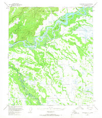
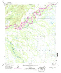
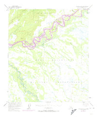
The Tanana River dominates the northern reaches of this mid-century Alaskan landscape, its braided channels and silty currents carving a complex network of islands and sloughs. Braided water bodies like Sevenmile Slough and Hadley Slough separate significant landforms including Sam Charley Island and Hadley Island from the mainland. South of the river, the landscape shifts toward military utility during the early Cold War era. A significant portion of the territory is dedicated to Ladd Air Force Base, with a sprawling Bombing and Gunnery Range occupying the lowland forests and wetlands near the Wood River. This juxtaposition of wild river hydraulics and tactical military infrastructure illustrates the strategic importance of the interior during this period, where large-scale training grounds were carved out of the wilderness south of Rosie Creek.
Find a feature on this map
16 named features on this map. Tap any name to fly to it.
Don’t see what you’re looking for? This feature index may not catch every label — zoom into the map to look around manually.
Map Details
Editions of this 1950 Fairbanks C-3 Map
4 editions found
Other maps of this area

1949 · Fairbanks D-2
USGS Topo · 1:62,500

1949 · Fairbanks D-3
USGS Topo · 1:63,360

1949 · Fairbanks D-4
USGS Topo · 1:63,360

1949 · Fairbanks C-2
USGS Topo · 1:63,360

1949 · Fairbanks B-4
USGS Topo · 1:63,360

1949 · Fairbanks B-3
USGS Topo · 1:63,360

1950 · Fairbanks
USGS Topo · 1:250,000

1950 · Fairbanks C-4
USGS Topo · 1:63,360

1950 · Fairbanks B-2
USGS Topo · 1:63,360

1950 · Fairbanks D-3
USGS Topo · 1:63,360