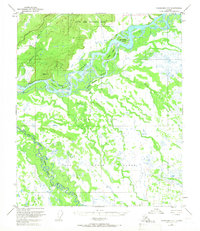
1950 Map of Fairbanks C-3
USGS Topo · Published 1966About this map
The Tanana River dominates the northern reaches of this interior Alaskan landscape, characterized by a complex network of braided channels and seasonal waterways. A sequence of large river features including Sam Charley Island, Hadley Island, and Whiskey Island reveal the shifting hydrology of the region at mid-century. To the north, the Bonanza Creek Experimental Forest borders the river valley, marking an area of early environmental and silvicultural study.
Find a feature on this map
18 named features on this map. Tap any name to fly to it.
Don’t see what you’re looking for? This feature index may not catch every label — zoom into the map to look around manually.
Map Details
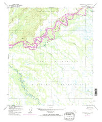
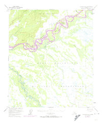
Editions of this 1950 Fairbanks C-3 Map
4 editions found
Other maps of this area

1949 · Fairbanks D-2
USGS Topo · 1:62,500

1949 · Fairbanks D-3
USGS Topo · 1:63,360

1949 · Fairbanks D-4
USGS Topo · 1:63,360

1949 · Fairbanks C-2
USGS Topo · 1:63,360

1949 · Fairbanks B-4
USGS Topo · 1:63,360

1949 · Fairbanks B-3
USGS Topo · 1:63,360

1950 · Fairbanks
USGS Topo · 1:250,000

1950 · Fairbanks C-3
USGS Topo · 1:63,360

1950 · Fairbanks C-4
USGS Topo · 1:63,360

1950 · Fairbanks B-2
USGS Topo · 1:63,360