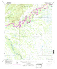
1950 Map of Fairbanks C-3
USGS Topo · Published 1974About this map
The Tanana River dominates this mid-century landscape south of Fairbanks, winding through a complex network of braids and islands. This survey captures a significant portion of the Fort Wainwright Military Reservation, established during the World War II era to support Cold War-era defense operations in the interior. The map illustrates the hydrological patterns of the river valley, characterized by numerous side channels like Hadley Slough and Whiskey Slough, and named landforms including Sam Charley Island and Whiskey Island. To the northwest, the Bonanza Creek Experimental Forest sits on the higher ground above Bonanza Creek, marking a landscape dedicated to long-term forestry research. Further south, the meandering Wood River defines a portion of the North Star Borough boundary, showing the terrain before late 20th-century developments altered the footprint of the local military installations.
Find a feature on this map
17 named features on this map. Tap any name to fly to it.
Don’t see what you’re looking for? This feature index may not catch every label — zoom into the map to look around manually.
Map Details
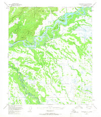
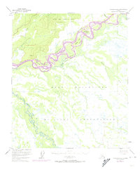
Editions of this 1950 Fairbanks C-3 Map
4 editions found
Other maps of this area

1949 · Fairbanks D-2
USGS Topo · 1:62,500

1949 · Fairbanks D-3
USGS Topo · 1:63,360

1949 · Fairbanks D-4
USGS Topo · 1:63,360

1949 · Fairbanks C-2
USGS Topo · 1:63,360

1949 · Fairbanks B-4
USGS Topo · 1:63,360

1949 · Fairbanks B-3
USGS Topo · 1:63,360

1950 · Fairbanks
USGS Topo · 1:250,000

1950 · Fairbanks C-3
USGS Topo · 1:63,360

1950 · Fairbanks C-4
USGS Topo · 1:63,360

1950 · Fairbanks B-2
USGS Topo · 1:63,360