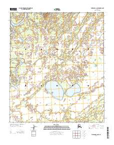
2013 Map of Fairbanks C-6 NW
USGS Topo · Published 2013About this map
Kantishna River snakes through this remote interior landscape, creating a complex network of oxbows and wetlands characteristic of the Tanana Valley drainage system. The terrain is defined by low-lying hydrologic features, notably the broad Bear Lake and the various branches of Rock Creek. This area illustrates the shifting nature of subarctic waterways, where seasonal fluctuations and sediment transport constantly reshape the river banks and surrounding marshes. Aside from the natural water bodies and the township lines of the Public Land Survey System, the map reflects a region largely untouched by permanent road infrastructure or industrial development, preserving a snapshot of the Alaskan wilderness as it remained in the early 21st century.
Find a feature on this map
6 named features on this map. Tap any name to fly to it.
Don’t see what you’re looking for? This feature index may not catch every label — zoom into the map to look around manually.
Map Details
Editions of this 2013 Fairbanks C-6 NW Map
This is the sole edition of this map. No revisions or reprints were ever made.
Other maps of this area

1948 · Kantishna River
USGS Topo · 1:250,000

1950 · Fairbanks
USGS Topo · 1:250,000

1951 · Kantishna River
USGS Topo · 1:250,000

1951 · Fairbanks
USGS Topo · 1:250,000

1952 · Kantishna River C-1
USGS Topo · 1:63,360

1952 · Kantishna River
USGS Topo · 1:250,000

1952 · Fairbanks
USGS Topo · 1:250,000
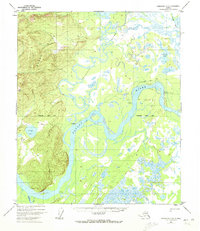
1952 · Fairbanks D-6
USGS Topo · 1:63,360
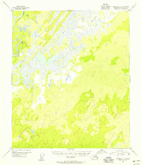
1953 · Fairbanks C-6
USGS Topo · 1:63,360
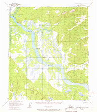
1953 · Kantishna River D-1
USGS Topo · 1:63,360