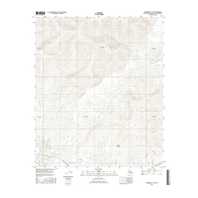
2016 Map of Fairbanks D-1 NE
USGS Topo · Published 2016About this map
Two Rivers serves as the primary point of settlement in this interior Alaskan landscape, situated along the southern edge of the quadrangle. The terrain is defined by the winding course of the Little Chena River, which is fed by numerous tributaries including Potlatch Cr and Smallwood Cr. The topography transitions from low-lying wetlands and river basins in the south to significant elevation increases in the northern townships, where peaks rise between East Chance Cr and Iowa Cr.
Find a feature on this map
22 named features on this map. Tap any name to fly to it.
Don’t see what you’re looking for? This feature index may not catch every label — zoom into the map to look around manually.
Map Details
Editions of this 2016 Fairbanks D-1 NE Map
This is the sole edition of this map. No revisions or reprints were ever made.
Other maps of this area

1945 · Livengood
USGS Topo · 1:250,000

1949 · Fairbanks D-1
USGS Topo · 1:62,500

1950 · Fairbanks
USGS Topo · 1:250,000

1950 · Big Delta
USGS Topo · 1:250,000

1950 · Big Delta D-6
USGS Topo · 1:63,360

1951 · Big Delta
USGS Topo · 1:250,000

1951 · Fairbanks
USGS Topo · 1:250,000

1951 · Livengood
USGS Topo · 1:250,000

1951 · Circle
USGS Topo · 1:250,000

1952 · Big Delta D-6
USGS Topo · 1:63,360