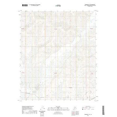
2021 Map of Fairbanks D-1 NE
USGS Topo · Published 2021About this map
The Little Chena River winds through the interior landscape of Fairbanks North Star Borough, anchoring the small settlement of Two Rivers. This modern survey illustrates a pocket of Alaska where residential growth is etched into the terrain via roads like Heritage Hills Road and the primary artery of Chena Hot Springs Rd. The map reveals a transition from these developed corridors to more remote reaches defined by narrow drainage systems such as Jenny M Cr and Potlatch Cr. To the south, specialized routes like Telemark Trail and Dusty Trail hint at the local recreational and residential lifestyle, while named tributaries like Town Cr and Anzac Cr provide specific landmarks for those studying the hydrology and land use patterns of the Tanana Valley area.
Find a feature on this map
22 named features on this map. Tap any name to fly to it.
Don’t see what you’re looking for? This feature index may not catch every label — zoom into the map to look around manually.
Map Details
Editions of this 2021 Fairbanks D-1 NE Map
This is the sole edition of this map. No revisions or reprints were ever made.
Other maps of this area

1945 · Livengood
USGS Topo · 1:250,000

1949 · Fairbanks D-1
USGS Topo · 1:62,500

1950 · Fairbanks
USGS Topo · 1:250,000

1950 · Big Delta
USGS Topo · 1:250,000

1950 · Big Delta D-6
USGS Topo · 1:63,360

1951 · Big Delta
USGS Topo · 1:250,000

1951 · Fairbanks
USGS Topo · 1:250,000

1951 · Livengood
USGS Topo · 1:250,000

1951 · Circle
USGS Topo · 1:250,000

1952 · Big Delta D-6
USGS Topo · 1:63,360