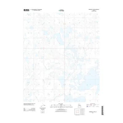
2013 Map of Fairbanks D-4 NW
USGS Topo · Published 2013About this map
Minto Lakes dominate the southeastern landscape of this interior Alaskan quadrangle, forming a complex network of wetlands and shallow basins. This 2013 survey illustrates the intricate hydrography of the Tanana Valley region, where the winding Chatanika River cuts across the northern reaches and Goldstream Creek meanders through the central lowlands. The lack of road infrastructure and human settlements highlights the character of this unorganized borough as a wilderness defined by its water systems. Smaller features like Beaver Dam Lake dot the western portion of the map, providing a detailed look at the seasonal drainage patterns and ecological structure of the subarctic marshland before any significant modern development or transport corridors altered the natural flow.
Find a feature on this map
4 named features on this map. Tap any name to fly to it.
Don’t see what you’re looking for? This feature index may not catch every label — zoom into the map to look around manually.
Map Details
Editions of this 2013 Fairbanks D-4 NW Map
This is the sole edition of this map. No revisions or reprints were ever made.
Other maps of this area

1945 · Livengood
USGS Topo · 1:250,000

1949 · Fairbanks D-4
USGS Topo · 1:63,360

1950 · Fairbanks
USGS Topo · 1:250,000

1950 · Fairbanks D-5
USGS Topo · 1:63,360

1951 · Fairbanks
USGS Topo · 1:250,000

1951 · Livengood
USGS Topo · 1:250,000

1951 · Livengood A-5
USGS Topo · 1:63,360

1951 · Livengood A-4
USGS Topo · 1:63,360

1952 · Fairbanks D-4
USGS Topo · 1:63,360

1952 · Fairbanks
USGS Topo · 1:250,000