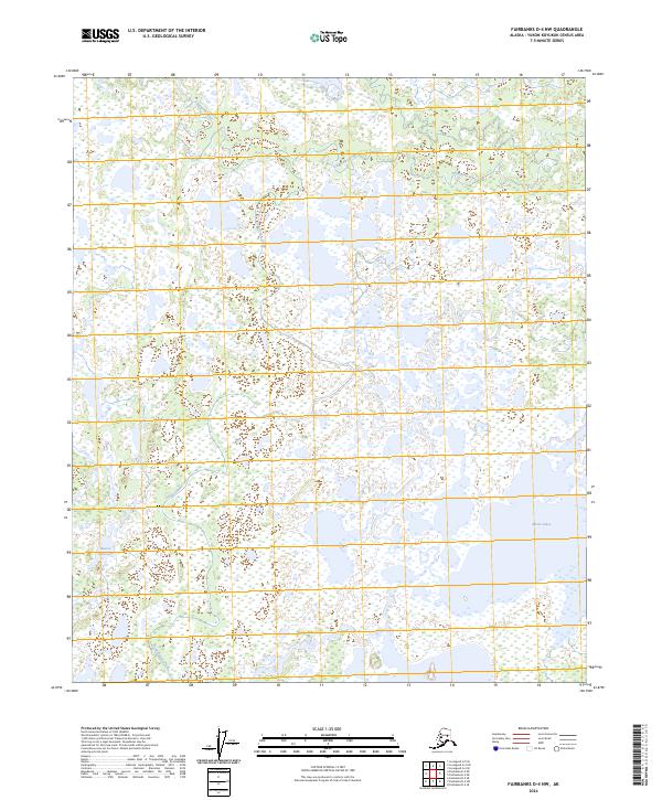
2024 Map of Fairbanks D-4 NW
USGS Topo · Published 2024About this map
Chatanika River winds through the northern portion of this Yukon-Koyukuk landscape, defining a complex riparian environment dominated by wetlands and intricate water systems. The terrain is characterized by the expansive Minto Lakes and the isolated Beaver Dam Lake, suggesting a low-lying basin where water drainage is slow and seasonal shifts heavily influence the geography.
Find a feature on this map
9 named features on this map. Tap any name to fly to it.
Don’t see what you’re looking for? This feature index may not catch every label — zoom into the map to look around manually.
Map Details
Editions of this 2024 Fairbanks D-4 NW Map
This is the sole edition of this map. No revisions or reprints were ever made.
Other maps of this area

1945 · Livengood
USGS Topo · 1:250,000

1949 · Fairbanks D-4
USGS Topo · 1:63,360

1950 · Fairbanks
USGS Topo · 1:250,000

1950 · Fairbanks D-5
USGS Topo · 1:63,360

1951 · Fairbanks
USGS Topo · 1:250,000

1951 · Livengood
USGS Topo · 1:250,000

1951 · Livengood A-5
USGS Topo · 1:63,360

1951 · Livengood A-4
USGS Topo · 1:63,360

1952 · Fairbanks D-4
USGS Topo · 1:63,360

1952 · Fairbanks
USGS Topo · 1:250,000