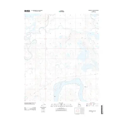
2013 Map of Fairbanks D-6 NE
USGS Topo · Published 2013About this map
The Tanana River and Tolovana River dominate this portion of the Unorganized Borough, defining a low-lying landscape shaped by shifting watercourses. In this early 21st-century record, the river systems are flanked by intricate wetland patterns, including Grassy Lake and the winding Swanneck Slough. Human presence is marked by specific river access points such as McKinley Crossing and Upper McKinley Crossing, which historically served as vital nodes for navigation and movement through the interior. A designated Sled Rd cuts across the terrain, reflecting the seasonal transportation methods essential to this subarctic environment. The map captures the complex interaction between the braiding rivers and the surrounding floodplain before any significant modern development altered these traditional crossings.
Find a feature on this map
9 named features on this map. Tap any name to fly to it.
Don’t see what you’re looking for? This feature index may not catch every label — zoom into the map to look around manually.
Map Details
Editions of this 2013 Fairbanks D-6 NE Map
This is the sole edition of this map. No revisions or reprints were ever made.
Other maps of this area

1945 · Livengood
USGS Topo · 1:250,000

1950 · Fairbanks
USGS Topo · 1:250,000

1950 · Fairbanks D-5
USGS Topo · 1:63,360

1951 · Fairbanks
USGS Topo · 1:250,000

1951 · Livengood
USGS Topo · 1:250,000

1951 · Livengood A-5
USGS Topo · 1:63,360

1952 · Livengood A-6
USGS Topo · 1:63,360

1952 · Fairbanks
USGS Topo · 1:250,000
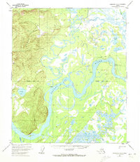
1952 · Fairbanks D-6
USGS Topo · 1:63,360

1953 · Livengood A-6
USGS Topo · 1:63,360