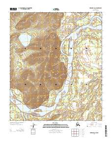
2013 Map of Fairbanks D-6 SW
USGS Topo · Published 2013About this map
Tolovana sits at the northern edge of this Interior Alaska landscape, where the braided Tolovana River meets the sweeping Tanana River. The map documents a complex aquatic geography defined by the convergence of major waterways, including the Kantishna River and its tributary Rock Creek in the south. The terrain is marked by seasonal transportation routes like the Sled Rd, which skirts the base of the high ground between the river valleys. A significant portion of the map is occupied by a large, unnamed massif that rises sharply between the Tanana and the lower reaches of Henteel Dokaaket, creating a natural barrier that dictates the flow of water and human movement. Further inland, the isolated Deadman Lake and the named landmark Caribou Crossing provide specific points of reference in this sparsely populated riverine environment.
Find a feature on this map
12 named features on this map. Tap any name to fly to it.
Don’t see what you’re looking for? This feature index may not catch every label — zoom into the map to look around manually.
Map Details
Editions of this 2013 Fairbanks D-6 SW Map
This is the sole edition of this map. No revisions or reprints were ever made.
Other maps of this area

1948 · Kantishna River
USGS Topo · 1:250,000

1950 · Fairbanks
USGS Topo · 1:250,000

1951 · Kantishna River
USGS Topo · 1:250,000

1951 · Fairbanks
USGS Topo · 1:250,000

1952 · Kantishna River C-1
USGS Topo · 1:63,360

1952 · Kantishna River
USGS Topo · 1:250,000

1952 · Fairbanks
USGS Topo · 1:250,000
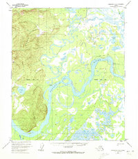
1952 · Fairbanks D-6
USGS Topo · 1:63,360
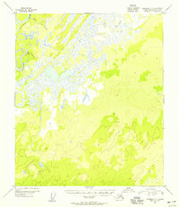
1953 · Fairbanks C-6
USGS Topo · 1:63,360
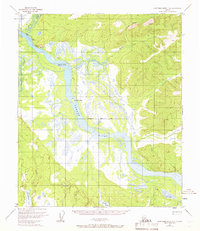
1953 · Kantishna River D-1
USGS Topo · 1:63,360