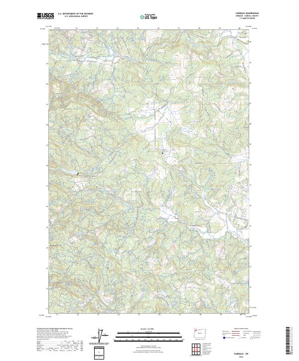
2023 Map of Fairdale
USGS Topo · Published 2023About this map
Moores Valley serves as a central geographic feature in this part of Yamhill County, where the landscape is defined by the winding North Yamhill River and numerous drainages like Haskins Creek and Beaver Creek. The map records a transition from more open valley areas into the uplift of Kutch Mtn and Homestead Ridge. Historically significant sites for researchers include the Moores Valley Cem and Pike Cem, along with the secluded Fairdale Mineral Spring.
Find a feature on this map
85 named features on this map. Tap any name to fly to it.
Don’t see what you’re looking for? This feature index may not catch every label — zoom into the map to look around manually.
Map Details
Editions of this 2023 Fairdale Map
This is the sole edition of this map. No revisions or reprints were ever made.
Historical Maps of Yamhill County Through Time
21 maps found

1924 Mc Minnville
Yamhill County, OR
1926 Mc Minnville
Yamhill County, OR

1942 Fairdale
Yamhill County, OR

1942 Spirit Mtn
Yamhill County, OR
1955 Fairdale
Yamhill County, OR
1957 Mc Minnville
Yamhill County, OR
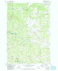
1979 Fairdale
Yamhill County, OR
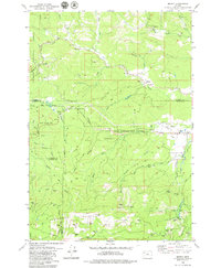
1979 Midway
Yamhill County, OR
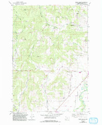
1979 Muddy Valley
Yamhill County, OR
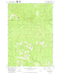
1979 Niagara Creek
Yamhill County, OR
1979 Springer Mtn
Yamhill County, OR
1979 Stony Mountain
Yamhill County, OR
1979 Trask Mtn
Yamhill County, OR
1980 Yamhill River
Yamhill County, OR
2023 Fairdale
Yamhill County, OR
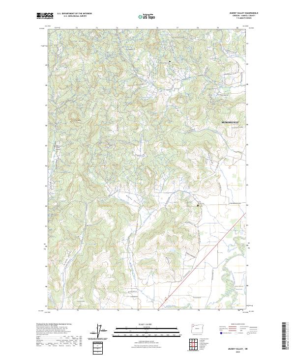
2023 Muddy Valley
Yamhill County, OR
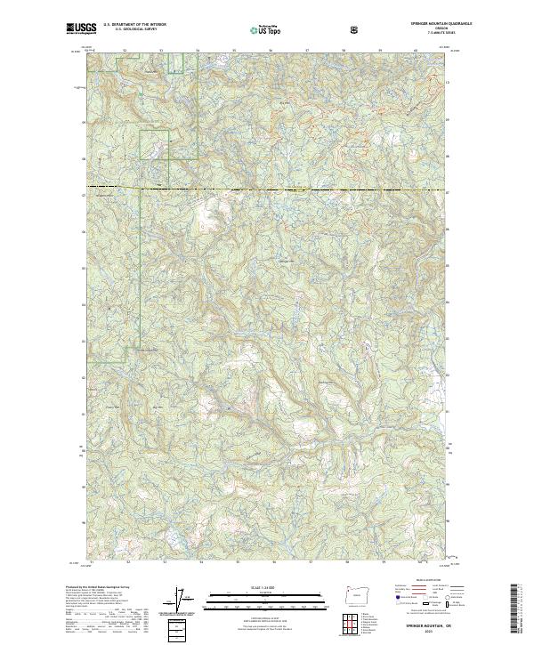
2023 Springer Mountain
Yamhill County, OR
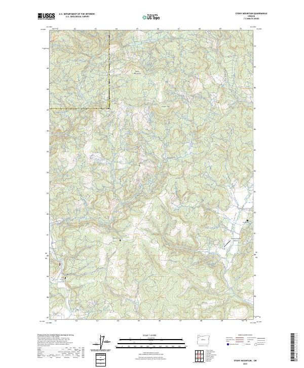
2023 Stony Mountain
Yamhill County, OR
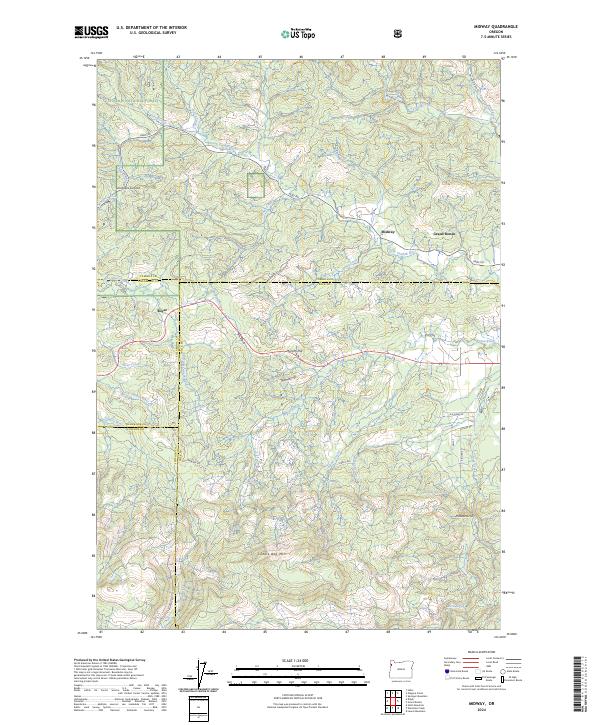
2024 Midway
Yamhill County, OR
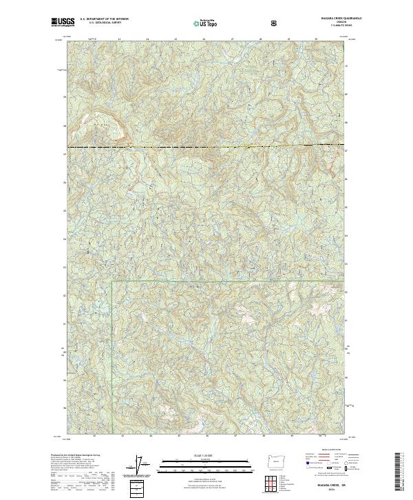
2024 Niagara Creek
Yamhill County, OR
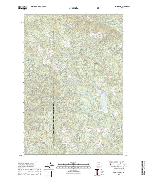
2024 Trask Mountain
Yamhill County, OR