
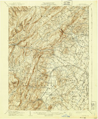
1909 Map of Fairfield
USGS Topo · Published 1909About this map
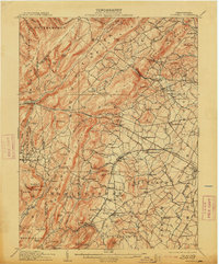
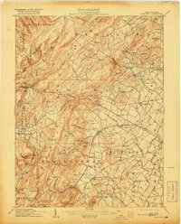
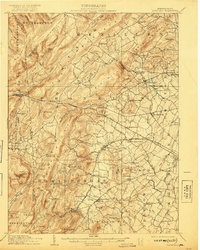
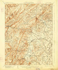
South Mountain Sanatorium sits prominently within the rugged highlands of the Adams County and Franklin County border, overlooking a landscape defined by sharp ridges and deep runs. This era in south-central Pennsylvania shows a transition from early industrial extraction to established rural communities. Evidence of the region’s iron heritage is found at Maria Furnace and Iron Springs, while the rail network, including the Western Maryland Railroad and the Harrisburg and Gettysburg Division, connects agricultural hubs like Cashtown and Bendersville to the wider markets. To the east, the map captures a portion of the Gettysburg Confederate Battlefield, marking the edge of the historic conflict site. Small crossroads and rail stops, such as Fairfield Sta and McKnightstown Sta, anchor a network of local institutions including the West Point School and McCleary School.
Find a feature on this map
126 named features on this map. Tap any name to fly to it.
Don’t see what you’re looking for? This feature index may not catch every label — zoom into the map to look around manually.
Map Details
Editions of this 1909 Fairfield Map
6 editions found
Other maps of this area

1902 · Chambersburg
USGS Topo · 1:62,500

1904 · Carlisle
USGS Topo · 1:62,500

1908 · Gettysburg
USGS Topo · 1:62,500

1909 · Hagerstown
USGS Topo · 1:48,000

1911 · Taneytown
USGS Topo · 1:62,500

1911 · Emmitsburg
USGS Topo · 1:62,500

1912 · Hagerstown
USGS Topo · 1:62,500

1919 · Newville
USGS Topo · 1:62,500

1923 · Shippensburg
USGS Topo · 1:62,500

1942 · Hagerstown
USGS Topo · 1:125,000