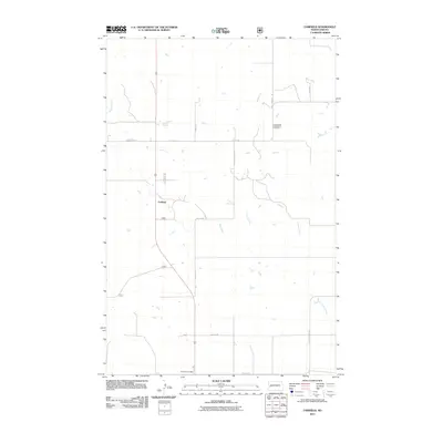
2011 Map of Fairfield
USGS Topo · Published 2011About this map
Fairfield stands as the primary settlement on this high-plains landscape, situated along a prominent north-south transit corridor in Billings County. This 2011 survey captures the town's central community markers, notably the Fairfield Post Office and the Immaculate Conception Cemetery located to the northeast. The geography is defined by the headwaters and drainage patterns of the Knife River, which meanders through the central and eastern portions of the map, alongside Magpie Creek and Horse Creek. A structured grid of section roads, including 125th Ave and 14th St S W, provides access to the surrounding ranchland and agricultural plots. The map illustrates the characteristic development of western North Dakota, where small unincorporated communities like Fairfield serve as vital hubs for the surrounding rural sections.
Find a feature on this map
17 named features on this map. Tap any name to fly to it.
Don’t see what you’re looking for? This feature index may not catch every label — zoom into the map to look around manually.
Map Details
Editions of this 2011 Fairfield Map
This is the sole edition of this map. No revisions or reprints were ever made.
Other maps of this area

1953 · Watford City
USGS Topo · 1:250,000

1957 · Watford City
USGS Topo · 1:250,000

1963 · Fairfield SE
USGS Topo · 1:24,000

1963 · Fairfield
USGS Topo · 1:24,000

1963 · Gorham SE
USGS Topo · 1:24,000

1963 · Gorham
USGS Topo · 1:24,000

1963 · Rattlesnake Butte
USGS Topo · 1:24,000

1963 · Hungry Man Butte
USGS Topo · 1:24,000

1967 · Watford City
USGS Topo · 1:250,000

1974 · Grassy Butte SW
USGS Topo · 1:24,000