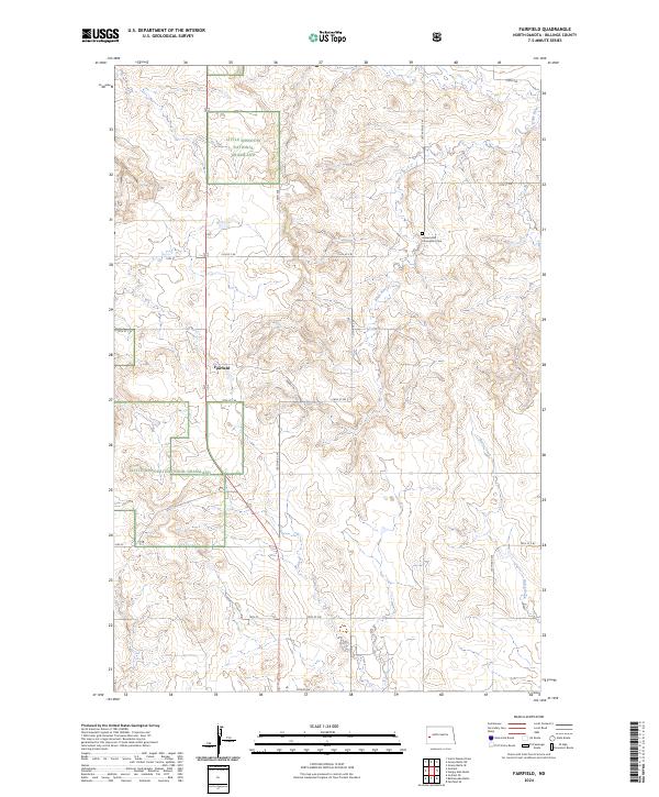
2024 Map of Fairfield
USGS Topo · Published 2024About this map
Fairfield serves as a central point in this Billings County landscape, where the open plains meet the managed preservation of the Little Missouri National Grassland. The terrain is defined by the winding course of the Knife River, which cuts through the central sections of the map, and the southern drainage of Horse Creek. These waterways provide a natural contrast to the rigid section lines and the local road network, which includes routes like Prairie Trl and 128th Ave. A significant cultural landmark for genealogists and local historians is the Immaculate Conception Cem, located in the northeastern portion of the quadrangle. The map captures the current state of land use in this part of western North Dakota, illustrating the intersection of established settlements and protected prairie lands.
Find a feature on this map
25 named features on this map. Tap any name to fly to it.
Don’t see what you’re looking for? This feature index may not catch every label — zoom into the map to look around manually.
Map Details
Editions of this 2024 Fairfield Map
This is the sole edition of this map. No revisions or reprints were ever made.
Other maps of this area

1953 · Watford City
USGS Topo · 1:250,000

1957 · Watford City
USGS Topo · 1:250,000

1963 · Fairfield SE
USGS Topo · 1:24,000

1963 · Fairfield
USGS Topo · 1:24,000

1963 · Gorham SE
USGS Topo · 1:24,000

1963 · Gorham
USGS Topo · 1:24,000

1963 · Rattlesnake Butte
USGS Topo · 1:24,000

1963 · Hungry Man Butte
USGS Topo · 1:24,000

1967 · Watford City
USGS Topo · 1:250,000

1974 · Grassy Butte SW
USGS Topo · 1:24,000