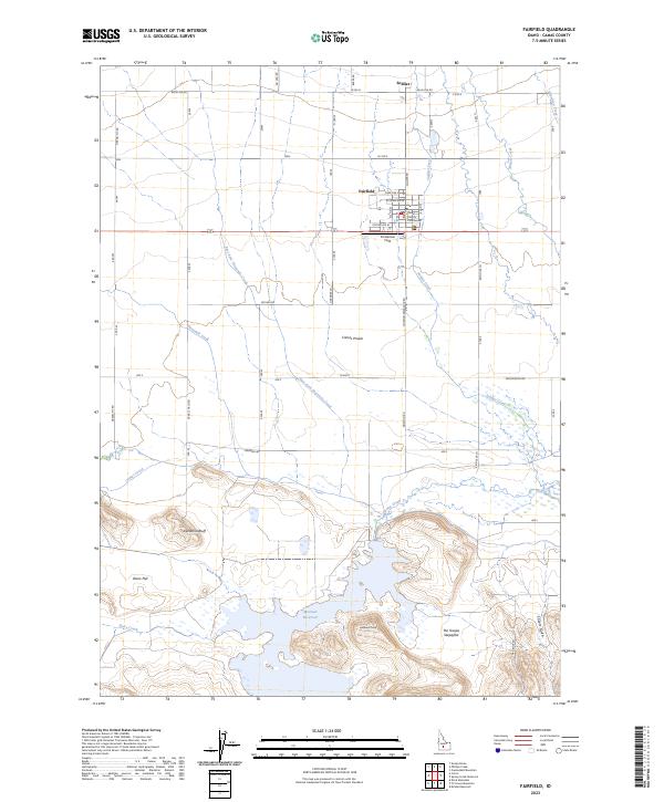
2023 Map of Fairfield
USGS Topo · Published 2023About this map
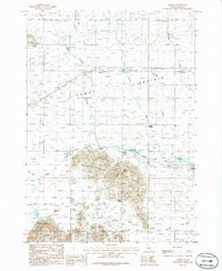
Fairfield serves as the central hub of this modern survey, which details the agricultural and water-management systems across the Camas Prairie. The town's grid is anchored by the Camas County Courthouse, while the surrounding landscape is defined by a rigorous network of section roads like Base Line RD and Manard RD. To the south, the terrain transitions from the flat prairie into the more varied topography of Windmill Bluff and Lookout Point, where the Mormon Reservoir collects drainage from the surrounding uplands.
Find a feature on this map
40 named features on this map. Tap any name to fly to it.
Don’t see what you’re looking for? This feature index may not catch every label — zoom into the map to look around manually.
Map Details
Editions of this 2023 Fairfield Map
2 editions found
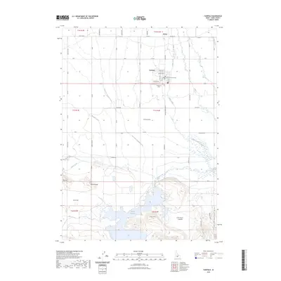
Other maps of this area

1955 · Hailey
USGS Topo · 1:250,000

1957 · Fairfield
USGS Topo · 1:62,500

1957 · Thorn Creek
USGS Topo · 1:62,500

1957 · Davis Mountain
USGS Topo · 1:62,500

1957 · Blaine
USGS Topo · 1:62,500

1959 · Hailey
USGS Topo · 1:250,000

1962 · Hailey
USGS Topo · 1:250,000
1986 · Phillips
USGS Topo · 1:24,000
1986 · Fir Grove Mountain
USGS Topo · 1:24,000
1986 · Corral
USGS Topo · 1:24,000