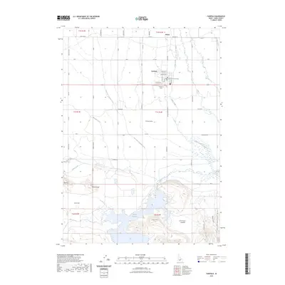
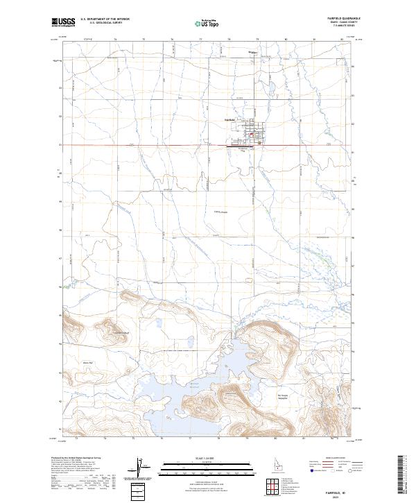
2023 Map of Fairfield
USGS Topo · Published 2023About this map
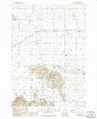
The Camas County Courthouse stands at the heart of Fairfield, the county seat situated on the expansive Camas Prairie. This modern mapping of the region illustrates a landscape defined by the transition from irrigated agricultural plains to the rising elevations of the Mount Bennett Hills in the south. The settlement of Soldier lies north of Fairfield, connected by a grid of rural roads like Soldier Rd that crisscross the prairie.
Find a feature on this map
40 named features on this map. Tap any name to fly to it.
Don’t see what you’re looking for? This feature index may not catch every label — zoom into the map to look around manually.
Map Details
Editions of this 2023 Fairfield Map
2 editions found
Other maps of this area

1955 · Hailey
USGS Topo · 1:250,000

1957 · Fairfield
USGS Topo · 1:62,500

1957 · Thorn Creek
USGS Topo · 1:62,500

1957 · Davis Mountain
USGS Topo · 1:62,500

1957 · Blaine
USGS Topo · 1:62,500

1959 · Hailey
USGS Topo · 1:250,000

1962 · Hailey
USGS Topo · 1:250,000
1986 · Phillips
USGS Topo · 1:24,000
1986 · Fir Grove Mountain
USGS Topo · 1:24,000
1986 · Corral
USGS Topo · 1:24,000