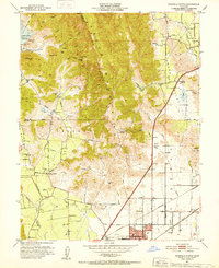
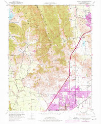
1951 Map of Fairfield North
USGS Topo · Published 1952About this map
The Vaca Mountains and Chimiles define a landscape of steep ridges and productive valleys in this 1951 study of the region north of Fairfield. Agriculture and water management are central to the terrain, evidenced by the presence of Lake Curry and numerous windmills scattered through the Suisun Valley and Tolenas areas. The map identifies the Pena House (Historic Site) in Lagoon Valley, marking a significant link to the area's early California history near the Alamo Creek drainage.
Find a feature on this map
51 named features on this map. Tap any name to fly to it.
Don’t see what you’re looking for? This feature index may not catch every label — zoom into the map to look around manually.
Map Details
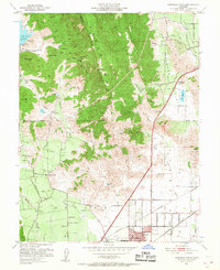
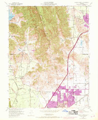
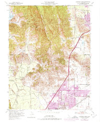
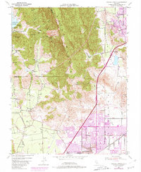
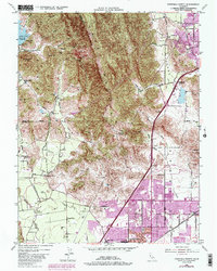
Editions of this 1951 Fairfield North Map
7 editions found
Other maps of this area

1896 · Carquinez Strait
USGS Topo · 1:62,500

1898 · Karquines
USGS Topo · 1:62,500

1901 · Karquines
USGS Topo · 1:62,500

1902 · Napa
USGS Topo · 1:125,000

1907 · Antioch
USGS Topo · 1:62,500

1908 · Vacaville
USGS Topo · 1:62,500

1908 · Antioch
USGS Topo · 1:62,500

1917 · Wolfskill
USGS Topo · 1:31,680

1917 · Elmira
USGS Topo · 1:31,680
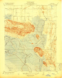
1918 · Denverton
USGS Topo · 1:31,680