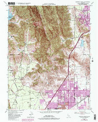
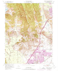
1951 Map of Fairfield North
USGS Topo · Published 1985About this map
The Vaca Mountains dominate this 1951 landscape, forming a dramatic physical barrier between the agricultural flats and the secluded valleys to the west. On the eastern side of the range, the urban footprints of Fairfield and Vacaville are shown in their mid-century configuration, intersected by the Southern Pacific railroad. The map highlights the area's transition from early pioneer history to industrial utility, evidenced by the Pena House (Historic Site) situated near the mouth of the canyon and the Cement Quarry at Cement Hill. In the western reaches, Gordon Valley and Mankas Corner remain focused on rural life, supported by small local institutions like the Gordon Valley Sch and Gomer School. This survey captures the region just before the significant suburban expansion of the later 20th century, retaining clear views of the original water courses like Ledgewood Creek and Suisun Creek.
Find a feature on this map
37 named features on this map. Tap any name to fly to it.
Don’t see what you’re looking for? This feature index may not catch every label — zoom into the map to look around manually.
Map Details
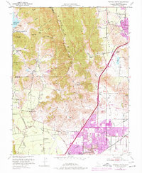
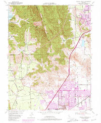
Editions of this 1951 Fairfield North Map
7 editions found
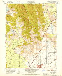
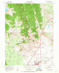
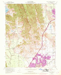
Other maps of this area

1896 · Carquinez Strait
USGS Topo · 1:62,500

1898 · Karquines
USGS Topo · 1:62,500

1901 · Karquines
USGS Topo · 1:62,500

1902 · Napa
USGS Topo · 1:125,000

1907 · Antioch
USGS Topo · 1:62,500

1908 · Vacaville
USGS Topo · 1:62,500

1908 · Antioch
USGS Topo · 1:62,500

1917 · Wolfskill
USGS Topo · 1:31,680

1917 · Elmira
USGS Topo · 1:31,680
1918 · Denverton
USGS Topo · 1:31,680