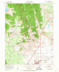
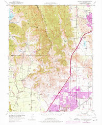
1951 Map of Fairfield North
USGS Topo · Published 1957About this map
Blue Ridge Mountains dominate the central landscape of this 1951 survey, creating a topographical divide between the agricultural valleys of Suisun Valley and Vaca Valley. The transition from the rugged highlands to the developed lowlands is marked by a network of rural schools and small settlements, including Mankas Corner and Cherry Glen. To the north, Lake Curry serves as a significant water feature near Bull Hill, while the eastern plains reveal the path of the Sacramento Northern and the Southern Pacific railroads. A notable historical detail is the Pena House, situated along the eastern slopes. The southern edge of the map shows the burgeoning layout of Fairfield, including the County Hospital and various civic reservoirs, capturing the area during a period of mid-century infrastructure growth and agricultural stability.
Find a feature on this map
55 named features on this map. Tap any name to fly to it.
Don’t see what you’re looking for? This feature index may not catch every label — zoom into the map to look around manually.
Map Details
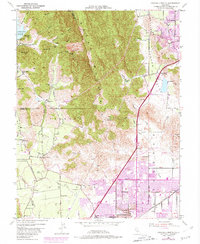
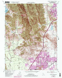
Editions of this 1951 Fairfield North Map
7 editions found
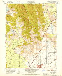
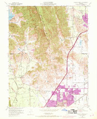
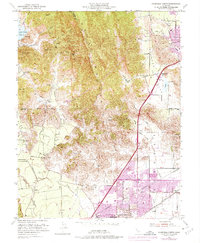
Other maps of this area

1896 · Carquinez Strait
USGS Topo · 1:62,500

1898 · Karquines
USGS Topo · 1:62,500

1901 · Karquines
USGS Topo · 1:62,500

1902 · Napa
USGS Topo · 1:125,000

1907 · Antioch
USGS Topo · 1:62,500

1908 · Vacaville
USGS Topo · 1:62,500

1908 · Antioch
USGS Topo · 1:62,500

1917 · Wolfskill
USGS Topo · 1:31,680

1917 · Elmira
USGS Topo · 1:31,680
1918 · Denverton
USGS Topo · 1:31,680