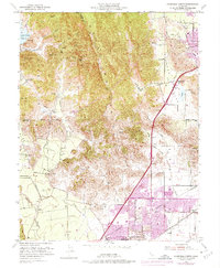
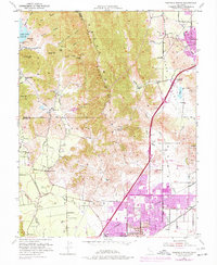
1951 Map of Fairfield North
USGS Topo · Published 1973About this map
The Vaca Mountains dominate this 1951 landscape, forming a high ridge that separates the agricultural expanse of Suisun Valley from the Lagoon Valley. This era shows the urban centers of Fairfield and Vacaville before their late-century expansion, with development still clustered near the Southern Pacific and Sacramento Northern rail lines. Notable landmarks include the Pena House (Historic Site) and the County Hospital, alongside several rural educational hubs like Gomer School and Dover Sch.
Find a feature on this map
48 named features on this map. Tap any name to fly to it.
Don’t see what you’re looking for? This feature index may not catch every label — zoom into the map to look around manually.
Map Details
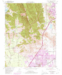
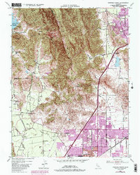
Editions of this 1951 Fairfield North Map
7 editions found
Other maps of this area

1896 · Carquinez Strait
USGS Topo · 1:62,500

1898 · Karquines
USGS Topo · 1:62,500

1901 · Karquines
USGS Topo · 1:62,500

1902 · Napa
USGS Topo · 1:125,000

1907 · Antioch
USGS Topo · 1:62,500

1908 · Vacaville
USGS Topo · 1:62,500

1908 · Antioch
USGS Topo · 1:62,500

1917 · Wolfskill
USGS Topo · 1:31,680

1917 · Elmira
USGS Topo · 1:31,680
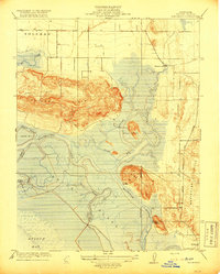
1918 · Denverton
USGS Topo · 1:31,680