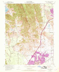
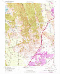
1951 Map of Fairfield North
USGS Topo · Published 1968About this map
The Vaca Mountains and Blue Ridge divide the landscape of northern Solano County, marking a stark transition between the steep canyons of the west and the expanding valley floors. The mapping of the Pena House underscores the deep ranching roots of the region, while the boundaries of the Tolenas Grant and Suisun Grant reveal the persistent influence of early land divisions.
Find a feature on this map
50 named features on this map. Tap any name to fly to it.
Don’t see what you’re looking for? This feature index may not catch every label — zoom into the map to look around manually.
Map Details
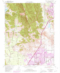
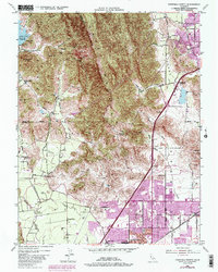
Editions of this 1951 Fairfield North Map
7 editions found
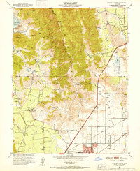
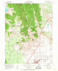
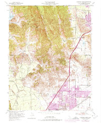
Other maps of this area

1896 · Carquinez Strait
USGS Topo · 1:62,500

1898 · Karquines
USGS Topo · 1:62,500

1901 · Karquines
USGS Topo · 1:62,500

1902 · Napa
USGS Topo · 1:125,000

1907 · Antioch
USGS Topo · 1:62,500

1908 · Vacaville
USGS Topo · 1:62,500

1908 · Antioch
USGS Topo · 1:62,500

1917 · Wolfskill
USGS Topo · 1:31,680

1917 · Elmira
USGS Topo · 1:31,680
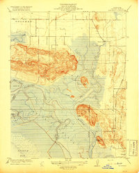
1918 · Denverton
USGS Topo · 1:31,680