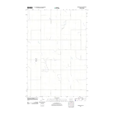
2011 Map of Fairfield SE
USGS Topo · Published 2011About this map
Saint Demetrius Cemetery and the Saints Peter and Paul Cemetery anchor the southern portion of this Dunn County landscape, situated near the confluence of local water systems. The terrain is defined by the winding paths of the Green River and Spring Creek, which converge amidst a grid of rural section roads. This 2011 survey illustrates the sparse, agrarian character of the region, where north-south thoroughfares like 123rd Ave SW and 121st Ave provide the primary framework for movement. The map also traces the upper reaches of Indian Creek and Horse Creek, showing a pattern of drainage and land use typical of the North Dakota plains. The proximity of these two distinct cemeteries suggests a community with layered histories of settlement and faith, preserved even as the surrounding landscape remains open and largely undeveloped.
Find a feature on this map
19 named features on this map. Tap any name to fly to it.
Don’t see what you’re looking for? This feature index may not catch every label — zoom into the map to look around manually.
Map Details
Editions of this 2011 Fairfield SE Map
This is the sole edition of this map. No revisions or reprints were ever made.
Other maps of this area

1953 · Dickinson
USGS Topo · 1:250,000

1953 · Watford City
USGS Topo · 1:250,000

1957 · Dickinson
USGS Topo · 1:250,000

1957 · Watford City
USGS Topo · 1:250,000

1962 · Belfield NE
USGS Topo · 1:24,000

1962 · Belfield
USGS Topo · 1:24,000

1963 · Fairfield SE
USGS Topo · 1:24,000

1963 · Fairfield
USGS Topo · 1:24,000

1963 · Rattlesnake Butte
USGS Topo · 1:24,000

1963 · Hungry Man Butte
USGS Topo · 1:24,000