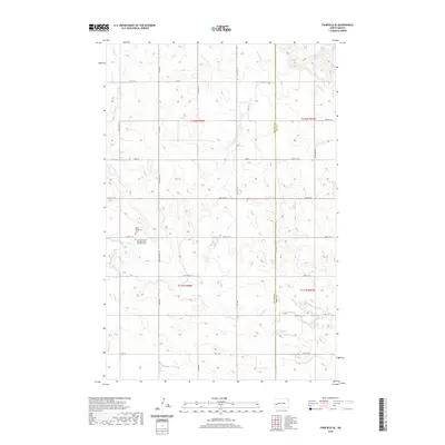
2020 Map of Fairfield SE
USGS Topo · Published 2020About this map
Ukrainian heritage and the high plains water system define this area of Dunn County. The landscape is notably anchored by the Saint Peter and Paul Ukrainian Orthodox Cem and the Saint Demetrius Cem, reflecting the specific immigrant history of this portion of North Dakota. These sites are located near the headwaters of the Green River, which meanders eastward through the southern half of the township.
Find a feature on this map
27 named features on this map. Tap any name to fly to it.
Don’t see what you’re looking for? This feature index may not catch every label — zoom into the map to look around manually.
Map Details
Editions of this 2020 Fairfield SE Map
This is the sole edition of this map. No revisions or reprints were ever made.
Other maps of this area

1953 · Dickinson
USGS Topo · 1:250,000

1953 · Watford City
USGS Topo · 1:250,000

1957 · Dickinson
USGS Topo · 1:250,000

1957 · Watford City
USGS Topo · 1:250,000

1962 · Belfield NE
USGS Topo · 1:24,000

1962 · Belfield
USGS Topo · 1:24,000

1963 · Fairfield SE
USGS Topo · 1:24,000

1963 · Fairfield
USGS Topo · 1:24,000

1963 · Rattlesnake Butte
USGS Topo · 1:24,000

1963 · Hungry Man Butte
USGS Topo · 1:24,000