
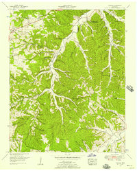
1951 Map of Fairview
USGS Topo · Published 1957About this map
The South Fork Harpeth River winds through a deeply incised landscape on the border of Davidson and Williamson counties, anchoring a network of remote hollows and high ridges like Redford Ridge and the Backbone. In the early 1950s, this area remained largely rural, defined by small settlements like Fairview and Fernvale. The map reveals a transition in transportation, showing the historic Natchez Trace alongside a dismantled railroad near Leipers Fork.
Find a feature on this map
90 named features on this map. Tap any name to fly to it.
Don’t see what you’re looking for? This feature index may not catch every label — zoom into the map to look around manually.
Map Details
Editions of this 1951 Fairview Map
4 editions found
Other maps of this area

1901 · Colombia
USGS Topo · 1:125,000

1903 · Nashville
USGS Topo · 1:125,000

1909 · Franklin
USGS Topo · 1:62,500

1930 · White Bluff
USGS Topo · 1:62,500

1932 · Nashville
USGS Topo · 1:62,500

1933 · White Bluff
USGS Topo · 1:62,500

1936 · Primm
USGS Topo · 1:24,000

1936 · Spring Hill
USGS Topo · 1:24,000

1936 · Theta
USGS Topo · 1:24,000

1936 · Craigfield
USGS Topo · 1:24,000