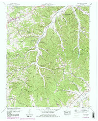
1951 Map of Fairview
USGS Topo · Published 1980About this map
The Harpeth River and its convoluted network of hollows define this section of Williamson County, where high ridges like Backbone Ridge drop sharply into narrow creek valleys. Rural life here in the mid-20th century centered on dispersed settlements such as Fairview and Leipers Fork, with the landscape dotted by family burial grounds like Mangrum Cem and King Cem. Significant landmarks include the Tennessee Industrial School Camp and Pritchard Cave north of Inman Hollow.
Find a feature on this map
91 named features on this map. Tap any name to fly to it.
Don’t see what you’re looking for? This feature index may not catch every label — zoom into the map to look around manually.
Map Details
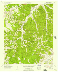
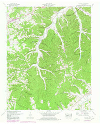
Editions of this 1951 Fairview Map
4 editions found

Other maps of this area

1901 · Colombia
USGS Topo · 1:125,000

1903 · Nashville
USGS Topo · 1:125,000

1909 · Franklin
USGS Topo · 1:62,500

1930 · White Bluff
USGS Topo · 1:62,500

1932 · Nashville
USGS Topo · 1:62,500

1933 · White Bluff
USGS Topo · 1:62,500

1936 · Primm
USGS Topo · 1:24,000

1936 · Spring Hill
USGS Topo · 1:24,000

1936 · Theta
USGS Topo · 1:24,000

1936 · Craigfield
USGS Topo · 1:24,000