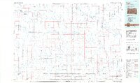
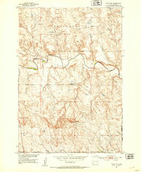
1984 Map of Faith
USGS Topo · Published 1984About this map
Faith and its surrounding prairie landscapes in the mid-1980s are defined by the convergence of ranching trails and the many branches of the Moreau River. This region, where Perkins and Harding counties meet, is dotted with isolated buttes that served as landmarks for generations, such as Chimney Butte and Rabbit Butte. The map reveals a network of small settlements and ranching hubs like Bixby, Maurine, and Zeona, many of which were established during the homesteading era.
Find a feature on this map
83 named features on this map. Tap any name to fly to it.
Don’t see what you’re looking for? This feature index may not catch every label — zoom into the map to look around manually.
Map Details
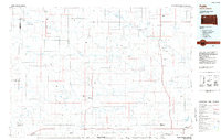
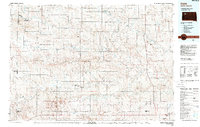
Editions of this 1984 Faith Map
3 editions found
Other maps of this area

1913 · Newell
USGS Topo · 1:125,000

1935 · Reva
USGS Topo · 1:125,000

1935 · Hoover
USGS Topo · 1:125,000
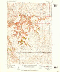
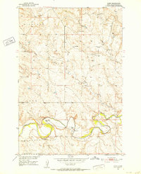
1951 · Cedar Canyon
USGS Topo · 1:24,000

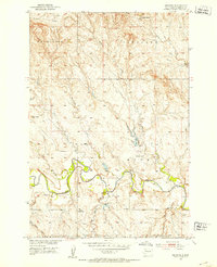
1951 · Maurine
USGS Topo · 1:24,000

1951 · Redelm NW
USGS Topo · 1:24,000
1951 · Faith NE
USGS Topo · 1:24,000
1951 · Imogene
USGS Topo · 1:24,000
1951 · Deep Creek NW
USGS Topo · 1:24,000
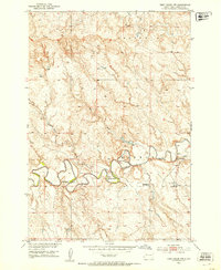
1951 · Bixby
USGS Topo · 1:24,000