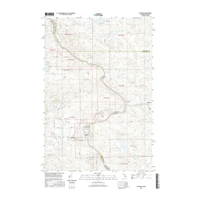
2017 Map of Faithorn
USGS Topo · Published 2017About this map
The Menominee River carves a winding path along the state line in this 2017 survey, separating Michigan's Menominee and Dickinson Counties from Wisconsin's Marinette County. This border landscape is defined by its complex fluvial features, including the Pemebonwon Islands, Ile Le Grand, and the aptly named Long Island. Small clusters of development appear at Faithorn, Michigan, and Kremlin, Wisconsin, representing the human footprint in an otherwise water-dominant terrain.
Find a feature on this map
86 named features on this map. Tap any name to fly to it.
Don’t see what you’re looking for? This feature index may not catch every label — zoom into the map to look around manually.
Map Details
Editions of this 2017 Faithorn Map
This is the sole edition of this map. No revisions or reprints were ever made.
Other maps of this area

1939 · Pembine
USGS Topo · 1:48,000

1947 · Pembine
USGS Topo · 1:48,000

1954 · Escanaba
USGS Topo · 1:250,000

1955 · Norway
USGS Topo · 1:24,000

1955 · Vulcan
USGS Topo · 1:24,000

1955 · Norway
USGS Topo · 1:62,500

1956 · Foster City
USGS Topo · 1:62,500

1957 · Escanaba
USGS Topo · 1:250,000

1958 · Escanaba
USGS Topo · 1:250,000

1963 · Pembine
USGS Topo · 1:62,500