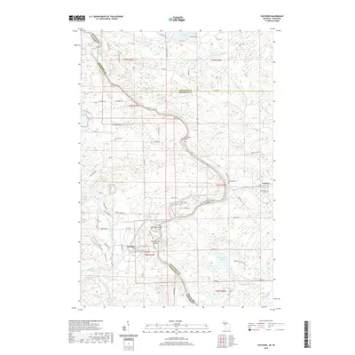
2019 Map of Faithorn
USGS Topo · Published 2019About this map
The Menominee River carves a winding path along the state border in this 2019 survey, defining the rugged geography between Wisconsin and Michigan. The river is punctuated by several significant landforms including Ile Le Grand, Long Island, and the Pemebonwon Islands near the mouth of the Pemebonwon River. These islands and the surrounding wetlands mark a transition between the more developed areas to the east and the forest-rich interior to the west.
Find a feature on this map
76 named features on this map. Tap any name to fly to it.
Don’t see what you’re looking for? This feature index may not catch every label — zoom into the map to look around manually.
Map Details
Editions of this 2019 Faithorn Map
This is the sole edition of this map. No revisions or reprints were ever made.
Other maps of this area

1939 · Pembine
USGS Topo · 1:48,000

1947 · Pembine
USGS Topo · 1:48,000

1954 · Escanaba
USGS Topo · 1:250,000

1955 · Norway
USGS Topo · 1:24,000

1955 · Vulcan
USGS Topo · 1:24,000

1955 · Norway
USGS Topo · 1:62,500

1956 · Foster City
USGS Topo · 1:62,500

1957 · Escanaba
USGS Topo · 1:250,000

1958 · Escanaba
USGS Topo · 1:250,000

1963 · Pembine
USGS Topo · 1:62,500