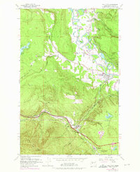
1953 Map of Fall City
USGS Topo · Published 1976About this map
The Snoqualmie River and its intricate network of sloughs, including Green Slough and Janicke Slough, define this river valley landscape at the base of the Cascades. By the early 1950s, with later updates in the 1970s, the area reflects a transition from early resource extraction to suburban fringe. The village of Fall City sits at the confluence of the river and Raging River, while the southern corridor follows the Burlington Northern tracks through High Point and Preston. Resource-based industry is evident in the presence of the Reynolds Mine and several gravel pits and prospects scattered across the ridges of Grand Ridge and Tiger Mtn. This map captures the evolving transport patterns of King County, showing the shift from rail sidings like the Fall City (Siding) on the Chicago Milwaukee St Paul and Pacific line to the expanding road networks near Upper Preston.
Find a feature on this map
41 named features on this map. Tap any name to fly to it.
Don’t see what you’re looking for? This feature index may not catch every label — zoom into the map to look around manually.
Map Details
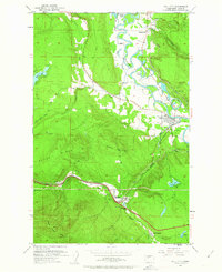
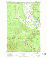
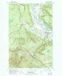
Editions of this 1953 Fall City Map
5 editions found

Other maps of this area

1895 · Snohomish
USGS Topo · 1:125,000

1897 · Tacoma
USGS Topo · 1:125,000

1897 · Seattle
USGS Topo · 1:125,000

1900 · Tacoma
USGS Topo · 1:125,000

1913 · Cedar Lake
USGS Topo · 1:125,000

1921 · Sultan
USGS Topo · 1:125,000

1923 · Sultan
USGS Topo · 1:125,000

1949 · Maple Valley
USGS Topo · 1:24,000

1950 · Redmond
USGS Topo · 1:24,000

1950 · Issaquah
USGS Topo · 1:24,000