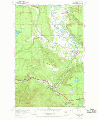
1953 Map of Fall City
USGS Topo · Published 1970About this map
Fall City and the winding Snoqualmie River define this mid-century landscape in the Snoqualmie Valley. The terrain shifts from the river bottomlands, characterized by oxbow features like Janicke Slough and Horseshoe Slough, to the prominent heights of West Tiger Mtn and Grand Ridge. The map documents a critical transportation corridor where the Northern Pacific and the Chicago Milwaukee St Paul and Pacific railroads once navigated the valley's complex geography. Evidence of local industry and resource extraction is visible through the Reynolds Mine, several quarries, and multiple gravel pits. Small rural communities such as Preston, Upper Preston, and Griffin appear alongside family-named landmarks like Teaters Bluff and Mitchell Hill, providing a detailed view of the region's development before modern suburban expansion.
Find a feature on this map
40 named features on this map. Tap any name to fly to it.
Don’t see what you’re looking for? This feature index may not catch every label — zoom into the map to look around manually.
Map Details
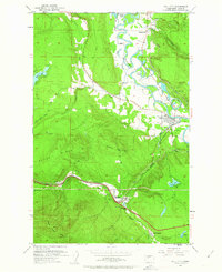
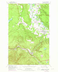
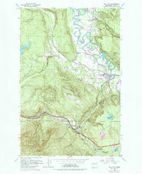
Editions of this 1953 Fall City Map
5 editions found

Other maps of this area

1895 · Snohomish
USGS Topo · 1:125,000

1897 · Tacoma
USGS Topo · 1:125,000

1897 · Seattle
USGS Topo · 1:125,000

1900 · Tacoma
USGS Topo · 1:125,000

1913 · Cedar Lake
USGS Topo · 1:125,000

1921 · Sultan
USGS Topo · 1:125,000

1923 · Sultan
USGS Topo · 1:125,000

1949 · Maple Valley
USGS Topo · 1:24,000

1950 · Redmond
USGS Topo · 1:24,000

1950 · Issaquah
USGS Topo · 1:24,000