
1893 Map of Fall River
USGS Topo · Published 1893About this map
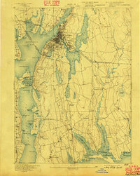
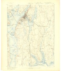
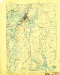
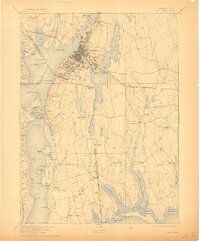
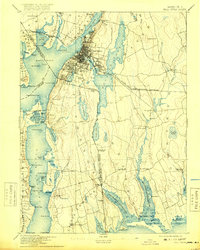
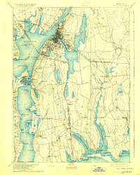
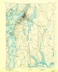
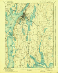
Fall River serves as the industrial hub of this coastal survey, where the Quequechan River connects the massive Watuppa Pond to the Taunton River waterfront. The landscape is defined by its complex shoreline and the crossing of the Massachusetts Rhode Island Boundary Line, which weaves between settlements like Globe Village and Tiverton. A dense network of transportation infrastructure supports the region's 19th-century growth, featuring the Old Colony Railroad and the Fall River and New Bedford Railroad.
Find a feature on this map
111 named features on this map. Tap any name to fly to it.
Don’t see what you’re looking for? This feature index may not catch every label — zoom into the map to look around manually.
Map Details
Editions of this 1893 Fall River Map
9 editions found
Other maps of this area

1885 · New Bedford
USGS Topo · 1:62,500

1885 · Sakonnet
USGS Topo · 1:62,500

1885 · Middleboro
USGS Topo · 1:62,500

1885 · Taunton
USGS Topo · 1:62,500

1887 · Providence
USGS Topo · 1:62,500

1888 · New Bedford
USGS Topo · 1:62,500

1888 · Fall River
USGS Topo · 1:62,500

1888 · Taunton
USGS Topo · 1:62,500

1888 · Middleboro
USGS Topo · 1:62,500

1888 · Sakonnet
USGS Topo · 1:62,500