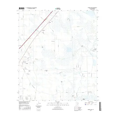
2016 Map of Fannett East
USGS Topo · Published 2016About this map
Taylor Landing and the surrounding coastal plains of Jefferson County are defined by a complex network of natural bayous and engineered waterways. In this part of southeast Texas, the landscape is etched with landmarks like Hillebrandt Bayou and the Gallier Canal, which serve the agricultural and industrial needs of communities like Fannett and Cheek. The presence of the Kelley Crop Service Airport underscores the region's historical reliance on aerial application for local farming, while named drainage features such as Burrell Gully and Red Haw Gully reveal the intricate hydrology of the low-lying terrain.
Find a feature on this map
81 named features on this map. Tap any name to fly to it.
Don’t see what you’re looking for? This feature index may not catch every label — zoom into the map to look around manually.
Map Details
Editions of this 2016 Fannett East Map
This is the sole edition of this map. No revisions or reprints were ever made.
Other maps of this area

1926 · Vidor
USGS Topo · 1:24,000

1932 · Beaumont
USGS Topo · 1:62,500

1943 · Fannett East
USGS Topo · 1:24,000

1943 · Beaumont East
USGS Topo · 1:24,000

1945 · Fannett East
USGS Topo · 1:31,680

1950 · Houston
USGS Topo · 1:250,000

1954 · Beaumont
USGS Topo · 1:250,000

1955 · Sour Lake
USGS Topo · 1:62,500

1956 · Houston
USGS Topo · 1:250,000

1957 · Beaumont
USGS Topo · 1:250,000