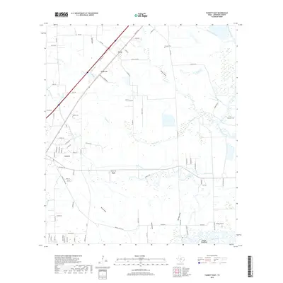
2019 Map of Fannett East
USGS Topo · Published 2019About this map
Taylor Bayou and its numerous feeding gullies define the low-lying drainage patterns of this coastal prairie region southwest of Beaumont. The landscape is a complex network of natural waterways and mid-century infrastructure, including the Gallier Canal and the Jefferson Canal. Small communities such as Fannett, Cheek, and Galloway sit along the corridors of the local road system, while the newer development of Taylor Landing marks the southern edge of the survey.
Find a feature on this map
81 named features on this map. Tap any name to fly to it.
Don’t see what you’re looking for? This feature index may not catch every label — zoom into the map to look around manually.
Map Details
Editions of this 2019 Fannett East Map
This is the sole edition of this map. No revisions or reprints were ever made.
Other maps of this area

1926 · Vidor
USGS Topo · 1:24,000

1932 · Beaumont
USGS Topo · 1:62,500

1943 · Fannett East
USGS Topo · 1:24,000

1943 · Beaumont East
USGS Topo · 1:24,000

1945 · Fannett East
USGS Topo · 1:31,680

1950 · Houston
USGS Topo · 1:250,000

1954 · Beaumont
USGS Topo · 1:250,000

1955 · Sour Lake
USGS Topo · 1:62,500

1956 · Houston
USGS Topo · 1:250,000

1957 · Beaumont
USGS Topo · 1:250,000