
1945 Map of Fannett East
USGS Topo · Published 1945About this map
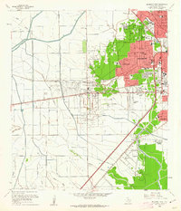
The coastal lowlands of Jefferson County are defined by a complex network of bayous and drainage canals as they appeared during the 1940s. The settlement at Fannett and the rail-aligned community of Cheek anchor the western portion of the quadrangle, while La Belle sits near the southern marshes. This era was marked by significant water management infrastructure, evidenced by numerous Pumping Sta locations serving the Jefferson Canal Road corridor.
Find a feature on this map
35 named features on this map. Tap any name to fly to it.
Don’t see what you’re looking for? This feature index may not catch every label — zoom into the map to look around manually.
Map Details
Editions of this 1945 Fannett East Map
This is the sole edition of this map. No revisions or reprints were ever made.
Other maps of this area

1926 · Vidor
USGS Topo · 1:24,000

1932 · Beaumont
USGS Topo · 1:62,500

1943 · Fannett East
USGS Topo · 1:24,000

1943 · Beaumont East
USGS Topo · 1:24,000

1950 · Houston
USGS Topo · 1:250,000

1954 · Beaumont
USGS Topo · 1:250,000

1955 · Sour Lake
USGS Topo · 1:62,500

1956 · Houston
USGS Topo · 1:250,000

1957 · Beaumont
USGS Topo · 1:250,000
1960 · Beaumont West
USGS Topo · 1:24,000