
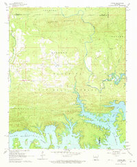
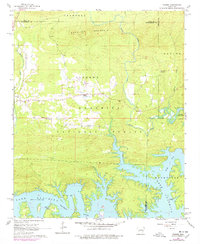
1962 Map of Fannie
USGS Topo · Published 1963About this map
Lake Ouachita dominates the southern half of this landscape, its complex, finger-like shoreline marking a transformed river valley within the Ouachita National Forest. The 1962 terrain reveals the intersection of Laverna and the small settlement of Fannie, situated north of the Base Line in a region defined by steep ridges like Sandlick Mountain. The map is particularly useful for genealogical research, identifying rural landmarks such as Breashears Cem, Oakwood Cem, and several local congregations including Prairie Grove Ch and Union Hill Ch. Along the northern reaches of the lake, sites like Avant Landing and the community of Buckville indicate the historical importance of the Ouachita River drainage system. Scattered clearings for agriculture contrast with the dense timber of the surrounding mountains, showing the settlement patterns before further forest reclamation.
Find a feature on this map
24 named features on this map. Tap any name to fly to it.
Don’t see what you’re looking for? This feature index may not catch every label — zoom into the map to look around manually.
Map Details
Editions of this 1962 Fannie Map
3 editions found
Other maps of this area

1890 · Mount Ida
USGS Topo · 1:125,000

1890 · Hot Springs
USGS Topo · 1:125,000

1894 · Hot Springs
USGS Topo · 1:125,000

1955 · Little Rock
USGS Topo · 1:250,000

1956 · Little Rock
USGS Topo · 1:250,000

1959 · Mount Ida
USGS Topo · 1:62,500

1960 · Little Rock
USGS Topo · 1:250,000

1960 · Gravelly
USGS Topo · 1:62,500

1962 · Crystal Springs
USGS Topo · 1:24,000

1962 · Avant
USGS Topo · 1:24,000