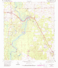
1968 Map of Fanning Springs
USGS Topo · Published 1988About this map
The Suwannee River carves a winding path through the heart of this landscape, serving as a natural boundary between Dixie, Gilchrist, and Levy counties. Along its banks, early river-life landmarks such as Clay Landing and New Pine Landing speak to the waterway's historical importance for transit and commerce. On the western side of the river, Old Town emerges as a primary settlement, anchored by the Old Town Sch and Old Town Cem. The terrain here is defined by the Old Town Hammock and numerous sinks and springs, including the notable Fanning Springs and Bell Springs.
Find a feature on this map
34 named features on this map. Tap any name to fly to it.
Don’t see what you’re looking for? This feature index may not catch every label — zoom into the map to look around manually.
Map Details
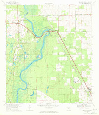
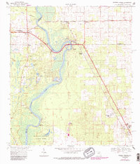
Editions of this 1968 Fanning Springs Map
3 editions found
Other maps of this area

1954 · Eugene
USGS Topo · 1:24,000

1954 · Cross City East
USGS Topo · 1:24,000

1954 · Chiefland
USGS Topo · 1:24,000

1954 · Manatee Springs
USGS Topo · 1:24,000

1954 · Vista
USGS Topo · 1:24,000

1954 · Gainesville
USGS Topo · 1:250,000

1958 · Gainesville
USGS Topo · 1:250,000

1959 · Gainesville
USGS Topo · 1:250,000

1968 · Fourmile Lake
USGS Topo · 1:24,000

1968 · Trenton
USGS Topo · 1:24,000