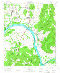
1964 Map of Farley
USGS Topo · Published 1966About this map
Redstone Arsenal dominates the western landscape of this mid-1960s Madison County survey, where the expanding military reservation meets the older agricultural and river-dependent settlements along the Tennessee River. The presence of Rocket Siding and a pumping station along the riverbank underscores the industrialization occurring south of Huntsville during the space race era. To the east, the steep elevations of Green Mountain and Mathis Mountain provide a sharp contrast to the developed corridors of the Louisville and Nashville railroad and Memorial Parkway Highway 231.
Find a feature on this map
100 named features on this map. Tap any name to fly to it.
Don’t see what you’re looking for? This feature index may not catch every label — zoom into the map to look around manually.
Map Details
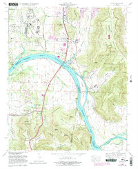
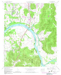
Editions of this 1964 Farley Map
Other maps of this area

1885 · Gadsden
USGS Topo · 1:125,000

1888 · Cullman
USGS Topo · 1:125,000

1888 · Gadsden
USGS Topo · 1:125,000

1888 · Scottsboro
USGS Topo · 1:125,000

1888 · Huntsville
USGS Topo · 1:125,000

1892 · Cullman
USGS Topo · 1:125,000

1892 · Huntsville
USGS Topo · 1:125,000

1892 · Scottsboro
USGS Topo · 1:125,000

1892 · Gadsden
USGS Topo · 1:125,000

1895 · Gadsden
USGS Topo · 1:125,000