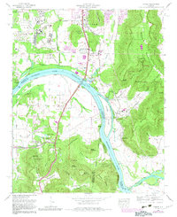
1964 Map of Farley
USGS Topo · Published 1982About this map
Redstone Arsenal dominates the western edge of this landscape, its boundary enclosing the industrial facilities of the Huntsville Filtration Plant and sidings along the Louisville and Nashville railroad. The Tennessee River curves sharply through the center, widening into Wheeler Lake and flowing past Hobbs Island toward the Coffee Bluff shoreline. This mid-century view reveals a region in transition, where established rural communities like Farley and Whitesburg meet emerging infrastructure, including the South Huntsville Airport and the Huntsville Speedway.
Find a feature on this map
91 named features on this map. Tap any name to fly to it.
Don’t see what you’re looking for? This feature index may not catch every label — zoom into the map to look around manually.
Map Details
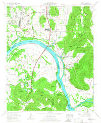
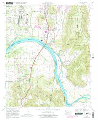
Editions of this 1964 Farley Map
Other maps of this area

1885 · Gadsden
USGS Topo · 1:125,000

1888 · Cullman
USGS Topo · 1:125,000

1888 · Gadsden
USGS Topo · 1:125,000

1888 · Scottsboro
USGS Topo · 1:125,000

1888 · Huntsville
USGS Topo · 1:125,000

1892 · Cullman
USGS Topo · 1:125,000

1892 · Huntsville
USGS Topo · 1:125,000

1892 · Scottsboro
USGS Topo · 1:125,000

1892 · Gadsden
USGS Topo · 1:125,000

1895 · Gadsden
USGS Topo · 1:125,000