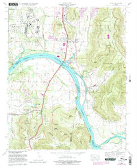
1964 Map of Farley
USGS Topo · Published 1982About this map
The Tennessee River and Wheeler Lake dominate this landscape south of Huntsville, where the river serves as both a natural barrier and a corridor for industry. The Redstone Arsenal occupies a significant portion of the northwest, its secure boundary pressing against the growing corporate limits of the city. Along the Louisville and Nashville rail line, the settlement of Farley remains a distinct community with its own Farley School and Farley Church, while further south, the Alabama State Dock Terminal and Huntsville Filtration Plant highlight the river's vital role in regional infrastructure.
Find a feature on this map
104 named features on this map. Tap any name to fly to it.
Don’t see what you’re looking for? This feature index may not catch every label — zoom into the map to look around manually.
Map Details
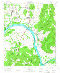
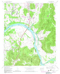
Editions of this 1964 Farley Map
Other maps of this area

1885 · Gadsden
USGS Topo · 1:125,000

1888 · Cullman
USGS Topo · 1:125,000

1888 · Gadsden
USGS Topo · 1:125,000

1888 · Scottsboro
USGS Topo · 1:125,000

1888 · Huntsville
USGS Topo · 1:125,000

1892 · Cullman
USGS Topo · 1:125,000

1892 · Huntsville
USGS Topo · 1:125,000

1892 · Scottsboro
USGS Topo · 1:125,000

1892 · Gadsden
USGS Topo · 1:125,000

1895 · Gadsden
USGS Topo · 1:125,000