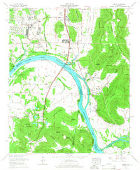
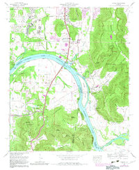
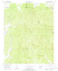
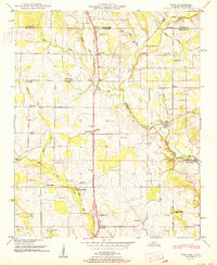
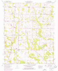
1964 Map of Farley
USGS Topo · Published 1966This historical map portrays the area of Farley in 1964, primarily covering Madison County as well as portions of Morgan County and Marshall County. Featuring a scale of 1:24000, this map provides a highly detailed snapshot of the terrain, roads, buildings, counties, and historical landmarks in the Farley region at the time. Published in 1966, it is one of 3 known editions of this map due to revisions or reprints.
Find a feature on this map
100 named features on this map. Tap any name to fly to it.
Don’t see what you’re looking for? This feature index may not catch every label — zoom into the map to look around manually.
Map Details
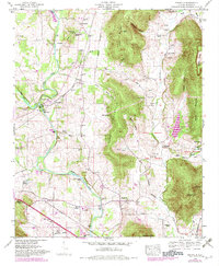
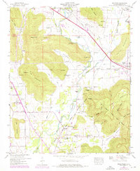
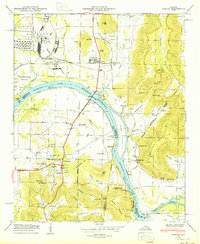
Editions of this 1964 Farley Map
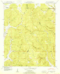
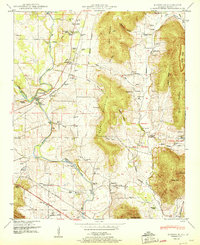
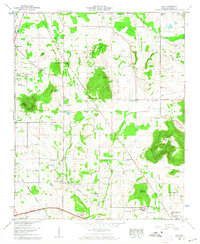
Historical Maps of Mountain Gap Estates Through Time
20 maps found

1936 Farley
Madison County, AL

1936 Fisk
Madison County, AL

1936 Jeff
Madison County, AL

1936 King Cove
Madison County, AL
1936 Maysville
Madison County, AL

1936 Moontown
Madison County, AL

1936 Toney
Madison County, AL

1947 Farley
Madison County, AL
1948 Fisk
Madison County, AL
1948 King Cove
Madison County, AL
1948 Maysville
Madison County, AL
1948 Moontown
Madison County, AL
1950 Farley
Madison County, AL
1951 Fisk
Madison County, AL
1951 King Cove
Madison County, AL
1951 Maysville
Madison County, AL
1958 Jeff
Madison County, AL
1958 Toney
Madison County, AL
1964 Farley
Madison County, AL
1967 Jeff
Madison County, AL