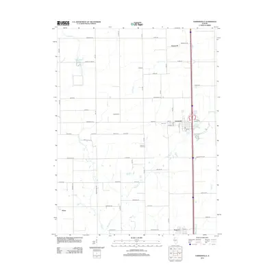
2012 Map of Farmersville
USGS Topo · Published 2012About this map
Farmersville and its surrounding agricultural corridor are defined by a grid of rural roads and the north-south transit spine of the interstate during the early 21st century. The map reveals a landscape managed for both utility and memory, where the industrial presence of the Crown Mine-Pond contrasts with the quiet preservation of the Rovey Cem and McCoupin Creek Cem. Smaller settlements like Thomasville, Waggoner, and the locality of McVey anchor the corners of the quadrangle, connected by historical routes such as Boston Chapel Rd and Thomasville Rd. Drainage for these fertile plains is provided by a network of waterways including Macoupin Cr and Horse Cr, while local aviation is represented by Lloyd Airport. This survey provides a clear view of how modern transportation and land use have integrated with the established town centers of Montgomery County.
Find a feature on this map
61 named features on this map. Tap any name to fly to it.
Don’t see what you’re looking for? This feature index may not catch every label — zoom into the map to look around manually.
Map Details
Editions of this 2012 Farmersville Map
This is the sole edition of this map. No revisions or reprints were ever made.
Other maps of this area

1922 · Divernon
USGS Topo · 1:62,500

1923 · Carlinville
USGS Topo · 1:48,000

1923 · Raymond
USGS Topo · 1:62,500

1924 · Divernon
USGS Topo · 1:62,500

1924 · Waverly
USGS Topo · 1:62,500

1925 · Carlinville
USGS Topo · 1:62,500

1925 · Raymond
USGS Topo · 1:62,500

1926 · Waverly
USGS Topo · 1:62,500

1931 · Carlinville
USGS Topo · 1:62,500

1958 · Decatur
USGS Topo · 1:250,000