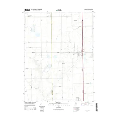
2015 Map of Farmersville
USGS Topo · Published 2015About this map
Farmersville and the neighboring village of Waggoner anchor this Montgomery County landscape, situated along a primary transportation corridor marked by the W Frontage Rd and E Frontage Rd. The area is defined by its agricultural character and the drainage patterns of Macoupin Cr, which winds through the southern portion of the quadrangle. Local history is etched into the landscape at sites like Macoupin Creek Cem and Rovey Cem, providing valuable touchpoints for genealogists. To the north, the small settlement of Thomasville sits near the headwaters of Brush Cr. Evidence of local industry appears at Crown Mine Pond east of the main Farmersville townsite, while the western reaches are defined by family-named routes such as Kimes Rd and Ball Rd near the border with Macoupin County.
Find a feature on this map
71 named features on this map. Tap any name to fly to it.
Don’t see what you’re looking for? This feature index may not catch every label — zoom into the map to look around manually.
Map Details
Editions of this 2015 Farmersville Map
This is the sole edition of this map. No revisions or reprints were ever made.
Other maps of this area

1922 · Divernon
USGS Topo · 1:62,500

1923 · Carlinville
USGS Topo · 1:48,000

1923 · Raymond
USGS Topo · 1:62,500

1924 · Divernon
USGS Topo · 1:62,500

1924 · Waverly
USGS Topo · 1:62,500

1925 · Carlinville
USGS Topo · 1:62,500

1925 · Raymond
USGS Topo · 1:62,500

1926 · Waverly
USGS Topo · 1:62,500

1931 · Carlinville
USGS Topo · 1:62,500

1958 · Decatur
USGS Topo · 1:250,000