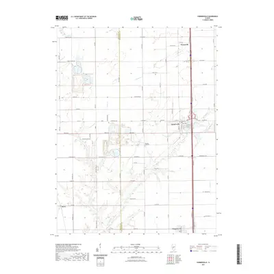
2021 Map of Farmersville
USGS Topo · Published 2021About this map
The boundary between Macoupin Co and Montgomery Co bisects this agricultural landscape, where the grain-belt economy is physically etched into the grid of country roads. Farmersville stands as a primary hub along the corridor, supported by neighboring Thomasville to the north and Waggoner to the south. This area is defined by the headwaters and branches of several drainage systems, including Horse Cr, Macoupin Cr, and Brush Cr, which create the only breaks in the otherwise geometric sections of farmland.
Find a feature on this map
77 named features on this map. Tap any name to fly to it.
Don’t see what you’re looking for? This feature index may not catch every label — zoom into the map to look around manually.
Map Details
Editions of this 2021 Farmersville Map
This is the sole edition of this map. No revisions or reprints were ever made.
Other maps of this area

1922 · Divernon
USGS Topo · 1:62,500

1923 · Carlinville
USGS Topo · 1:48,000

1923 · Raymond
USGS Topo · 1:62,500

1924 · Divernon
USGS Topo · 1:62,500

1924 · Waverly
USGS Topo · 1:62,500

1925 · Carlinville
USGS Topo · 1:62,500

1925 · Raymond
USGS Topo · 1:62,500

1926 · Waverly
USGS Topo · 1:62,500

1931 · Carlinville
USGS Topo · 1:62,500

1958 · Decatur
USGS Topo · 1:250,000