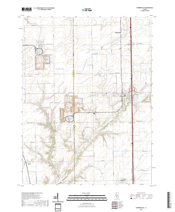
2024 Map of Farmersville
USGS Topo · Published 2024About this map
Farmersville serves as the central hub of this agricultural and industrial landscape along the Macoupin and Montgomery county line. The map captures a transition between intensive resource extraction and rural land use, prominently featuring the Crown Mine Pond and the extensive network of roads like Crown Two Mine Rd that underscore the area's mining history. The drainage systems of Macoupin Creek and Horse Creek carve through the prairie, providing the natural topography for older landmarks.
Find a feature on this map
75 named features on this map. Tap any name to fly to it.
Don’t see what you’re looking for? This feature index may not catch every label — zoom into the map to look around manually.
Map Details
Editions of this 2024 Farmersville Map
This is the sole edition of this map. No revisions or reprints were ever made.
Other maps of this area

1922 · Divernon
USGS Topo · 1:62,500

1923 · Carlinville
USGS Topo · 1:48,000

1923 · Raymond
USGS Topo · 1:62,500

1924 · Divernon
USGS Topo · 1:62,500

1924 · Waverly
USGS Topo · 1:62,500

1925 · Carlinville
USGS Topo · 1:62,500

1925 · Raymond
USGS Topo · 1:62,500

1926 · Waverly
USGS Topo · 1:62,500

1931 · Carlinville
USGS Topo · 1:62,500

1958 · Decatur
USGS Topo · 1:250,000