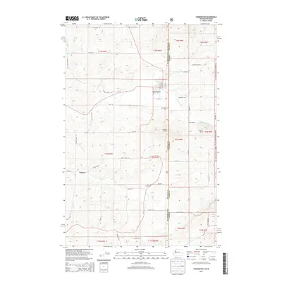
2014 Map of Farmington
USGS Topo · Published 2014About this map
Farmington sits at the heart of this agricultural landscape along the Washington-Idaho state line, where the plateau terrain begins to rise toward the timbered edges of the St Joe National Forest. The settlement of Walters appears further west, connected by a network of rural routes such as Miller Rd and Walter Siding Rd. The geography is defined by prominent elevations like Stratton Butte and Palmer Butte, while the drainage system of Pine Creek and Silver Creek carves through the fertile Palouse hills.
Find a feature on this map
56 named features on this map. Tap any name to fly to it.
Don’t see what you’re looking for? This feature index may not catch every label — zoom into the map to look around manually.
Map Details
Editions of this 2014 Farmington Map
This is the sole edition of this map. No revisions or reprints were ever made.
Other maps of this area

1903 · Oakesdale
USGS Topo · 1:125,000

1905 · Oakesdale
USGS Topo · 1:125,000

1910 · Pullman
USGS Topo · 1:125,000

1955 · Pullman
USGS Topo · 1:250,000

1955 · Spokane
USGS Topo · 1:250,000

1957 · Tensed
USGS Topo · 1:62,500

1958 · Spokane
USGS Topo · 1:250,000

1958 · Pullman
USGS Topo · 1:250,000

1960 · Potlatch
USGS Topo · 1:62,500

1964 · Oakesdale
USGS Topo · 1:24,000