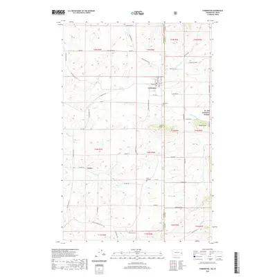
2020 Map of Farmington
USGS Topo · Published 2020About this map
The town of Farmington sits at the edge of the Washington Idaho state line, serving as a hub for this agricultural landscape within Whitman County. The street grid is clearly defined by routes like Main St and Washington St, while nearby Farmington Cem and Silver Creek Cem offer significant points of interest for those researching local family histories. Further south, the map identifies the small settlement area of Walters, which developed along the corridor of Walter Siding Rd.
Find a feature on this map
63 named features on this map. Tap any name to fly to it.
Don’t see what you’re looking for? This feature index may not catch every label — zoom into the map to look around manually.
Map Details
Editions of this 2020 Farmington Map
This is the sole edition of this map. No revisions or reprints were ever made.
Other maps of this area

1903 · Oakesdale
USGS Topo · 1:125,000

1905 · Oakesdale
USGS Topo · 1:125,000

1910 · Pullman
USGS Topo · 1:125,000

1955 · Pullman
USGS Topo · 1:250,000

1955 · Spokane
USGS Topo · 1:250,000

1957 · Tensed
USGS Topo · 1:62,500

1958 · Spokane
USGS Topo · 1:250,000

1958 · Pullman
USGS Topo · 1:250,000

1960 · Potlatch
USGS Topo · 1:62,500

1964 · Oakesdale
USGS Topo · 1:24,000