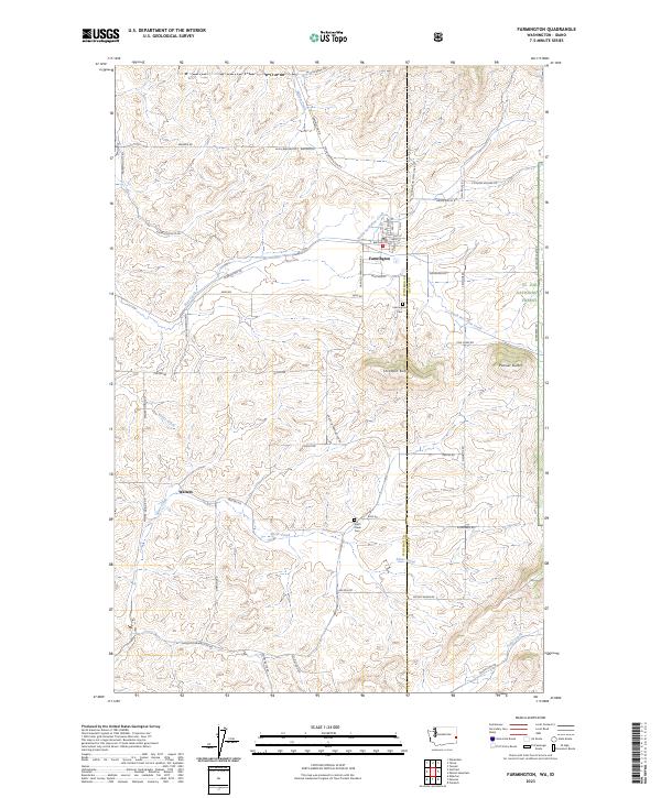
2023 Map of Farmington
USGS Topo · Published 2023About this map
Farmington sits at the intersection of agricultural heartland and timbered foothills along the border of Whitman and Latah counties. This landscape is defined by the drainage systems of North Fork Pine Creek and Silver Creek, which cut through the rolling Palouse terrain. To the east, the topography rises sharply toward Stratton Butte and Palmer Butte, marking the western edge of the St. Joe National Forest.
Find a feature on this map
61 named features on this map. Tap any name to fly to it.
Don’t see what you’re looking for? This feature index may not catch every label — zoom into the map to look around manually.
Map Details
Editions of this 2023 Farmington Map
This is the sole edition of this map. No revisions or reprints were ever made.
Other maps of this area

1903 · Oakesdale
USGS Topo · 1:125,000

1905 · Oakesdale
USGS Topo · 1:125,000

1910 · Pullman
USGS Topo · 1:125,000

1955 · Pullman
USGS Topo · 1:250,000

1955 · Spokane
USGS Topo · 1:250,000

1957 · Tensed
USGS Topo · 1:62,500

1958 · Spokane
USGS Topo · 1:250,000

1958 · Pullman
USGS Topo · 1:250,000

1960 · Potlatch
USGS Topo · 1:62,500

1964 · Oakesdale
USGS Topo · 1:24,000