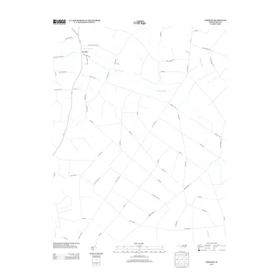
2013 Map of Farmlife
USGS Topo · Published 2013About this map
The unincorporated community of Farmlife serves as the central point for this Martin County landscape, where the agricultural heritage is reflected in the extensive network of named country roads and family-owned lands. The hydrology of the region is defined by the wandering path of Hardison Mill Cr, which drains several low-lying areas including Deep Run Swamp and Big Swamp. The naming of the local infrastructure provides a direct link to the area's timber and rail history, particularly through the multiple segments of the J and W Tram Rd.
Find a feature on this map
45 named features on this map. Tap any name to fly to it.
Don’t see what you’re looking for? This feature index may not catch every label — zoom into the map to look around manually.
Map Details
Editions of this 2013 Farmlife Map
This is the sole edition of this map. No revisions or reprints were ever made.
Other maps of this area

1901 · Williamston
USGS Topo · 1:62,500

1902 · Williamston
USGS Topo · 1:62,500

1903 · Chocowinity
USGS Topo · 1:62,500

1905 · Chocowinity
USGS Topo · 1:62,500

1943 · Plymouth
USGS Topo · 1:125,000

1950 · Pinetown
USGS Topo · 1:24,000

1951 · Bunyan
USGS Topo · 1:24,000

1951 · Washington
USGS Topo · 1:24,000

1953 · Rocky Mount
USGS Topo · 1:250,000

1954 · Rocky Mount
USGS Topo · 1:250,000