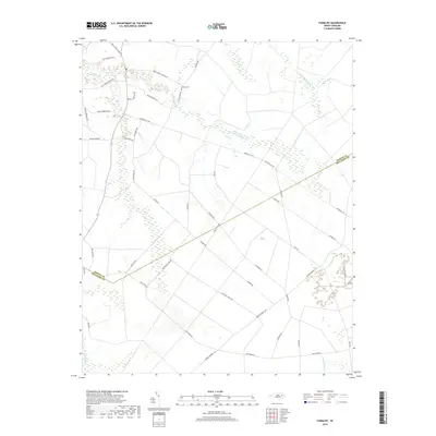
2019 Map of Farmlife
USGS Topo · Published 2019About this map
Hardison Mill Cr and Deep Run Swamp define the low-lying, water-braided landscape of this Martin and Beaufort County border region. The 2019 survey shows a network of rural roads that reflect generations of family landholdings, such as Kent Roberson Rd, Dewey Hardison Rd, and E H Williams Rd. These routes connect dispersed homesites and small agricultural plots within a broader terrain of extensive wetlands, including Big Swamp and Fork Swamp.
Find a feature on this map
36 named features on this map. Tap any name to fly to it.
Don’t see what you’re looking for? This feature index may not catch every label — zoom into the map to look around manually.
Map Details
Editions of this 2019 Farmlife Map
This is the sole edition of this map. No revisions or reprints were ever made.
Other maps of this area

1901 · Williamston
USGS Topo · 1:62,500

1902 · Williamston
USGS Topo · 1:62,500

1903 · Chocowinity
USGS Topo · 1:62,500

1905 · Chocowinity
USGS Topo · 1:62,500

1943 · Plymouth
USGS Topo · 1:125,000

1950 · Pinetown
USGS Topo · 1:24,000

1951 · Bunyan
USGS Topo · 1:24,000

1951 · Washington
USGS Topo · 1:24,000

1953 · Rocky Mount
USGS Topo · 1:250,000

1954 · Rocky Mount
USGS Topo · 1:250,000