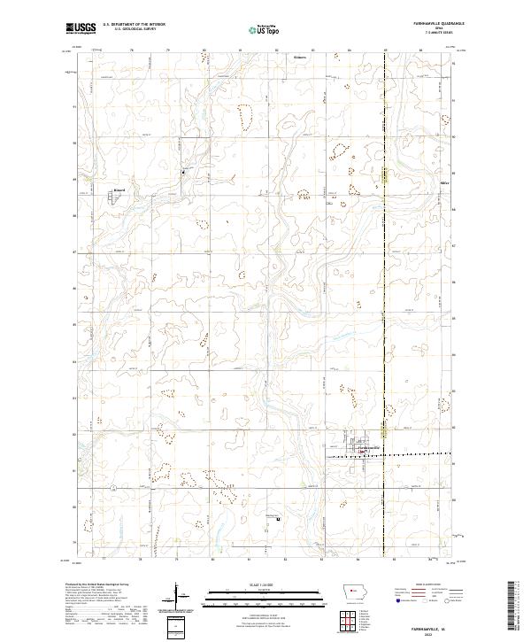
2022 Map of Farnhamville
USGS Topo · Published 2022About this map
Farnhamville serves as the primary hub in this corner of the Iowa prairie, positioned at the intersection of Summit Ave and Main St. The landscape is defined by the meticulous grid of the Public Land Survey System, where townships like t86n r31w are bisected by an extensive network of drainage channels including Ditch Number 12 and Ditch Number 28. These man-made improvements reflect the intensive agricultural development required to manage the watershed of Hardin Cr and E Cedar Cr.
Find a feature on this map
44 named features on this map. Tap any name to fly to it.
Don’t see what you’re looking for? This feature index may not catch every label — zoom into the map to look around manually.
Map Details
Editions of this 2022 Farnhamville Map
This is the sole edition of this map. No revisions or reprints were ever made.
Other maps of this area

1954 · Fort Dodge
USGS Topo · 1:250,000

1957 · Fort Dodge
USGS Topo · 1:250,000

1958 · Fort Dodge
USGS Topo · 1:250,000

1962 · Jefferson
USGS Topo · 1:62,500

1965 · Moorland
USGS Topo · 1:24,000

1965 · Farnhamville
USGS Topo · 1:24,000

1965 · Knierim
USGS Topo · 1:24,000

1965 · Gowrie
USGS Topo · 1:24,000

1980 · Wightman
USGS Topo · 1:24,000
1980 · Richard
USGS Topo · 1:24,000